It is said the great wars of this century will be fought over water.
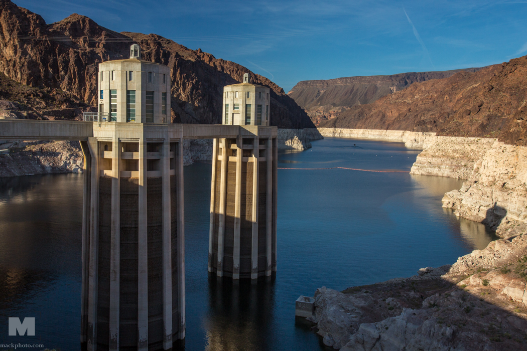
The first week of April I was out in Nevada and shot images around Lake Mead which show not only the scarcity of the water with Lake Mead being at its lowest level since Hoover Dam was built in the 1930’s. The lake level has dropped almost 100’ as of 2015, a vast amount of water for a lake which is when full 110 miles long. Harbors have been moved ¼ to almost a mile from where the shorelines were and some harbors just plain closed.
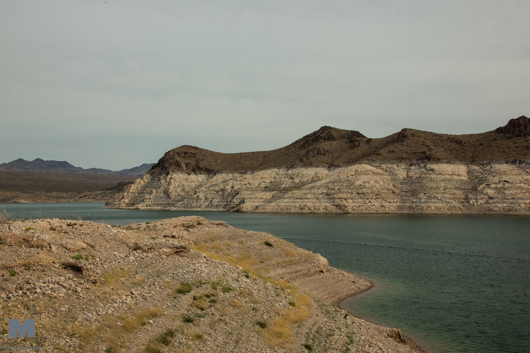
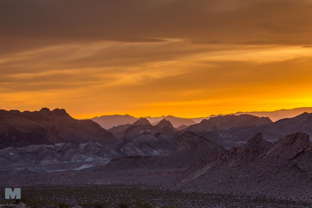
You can tell how far down it is by seeing the white “bath tub ring” as it is called around the edge of the entire lake. Turning the camera the other way you can also see why this is a National Recreation Area. Its landscape is both arid and beautiful. And gives you a feeling for what we covered over in the landscape by building Hoover Dam and covering over these valleys to create Lake Mead. This lake supplies not only power from the generators in the dam but controls water flow to Nevada, Arizona, California and Mexico via the release of the water down the Colorado River.
I covered this area as part of The Sweetwater Seas, a documentary on the health and beauty of all five of the Great Lakes. Currently there is an international treaty which protects the lakes from losing water to the west via pipelines. The west is facing the worst water shortage in history.
To see more of the images you can use this link: Lake Mead
Richard
#waterwars
#thesweetwaterseas
#richardmack
#lakemead